709-218-7927 The Landfall Garden House 60 Canon Bayley Road CANADA A0C 1B0 |
|
|---|
.JPG)
Pefferlaw Dam Conservation Area
Saturday, September 10, 2011
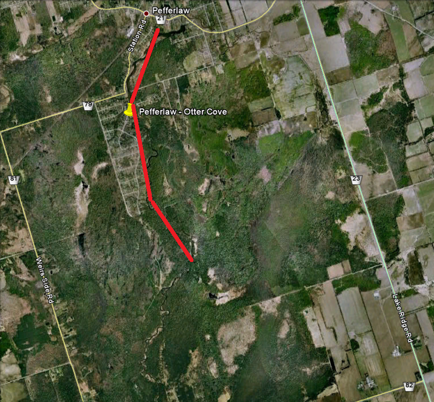
We set off in high spirits to Beaver River (Beaverton) but found that the weir sluice gates are gone, as is the lake, so we headed back to Pefferlaw Brook.
We have previously paddled Pefferlaw Brook ñ Port Bolster , and I have examined but not paddled Pefferlaw Brook - Udora .
Our paddle today is a continuation of Pefferlaw Brook ñ Port Bolster , missing out a few hundred yards between the railway bridge and the dam.
We timed the run back to Finch Subway Station at about 70 minutes.
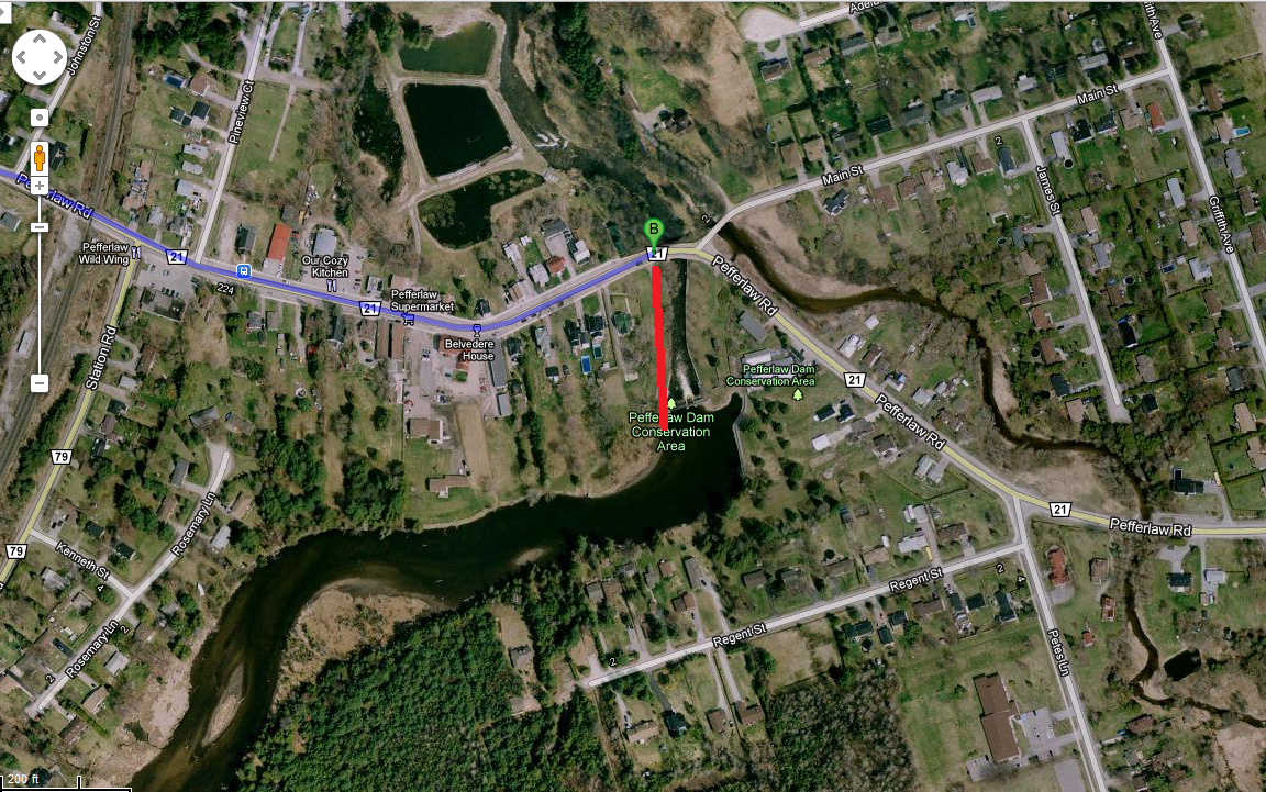
The launch spot is a fifty-yards walk from the intersection of Pefferlaw Road and Main Street.
After our mis-judged trip to Beaverton, we were unloading the canoe at a quarter to eleven.
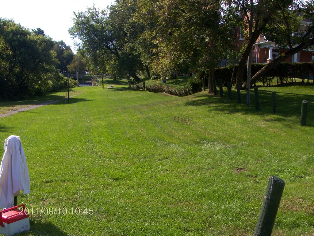
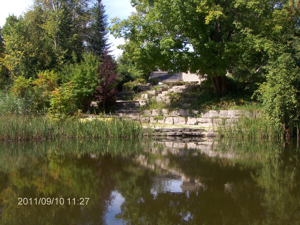
Here is a view from Pefferlaw Road towards the weir, which can be seen in the middle distance.
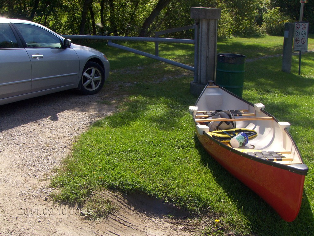
Travelling light today; we will use the canoe as a carry-basket.
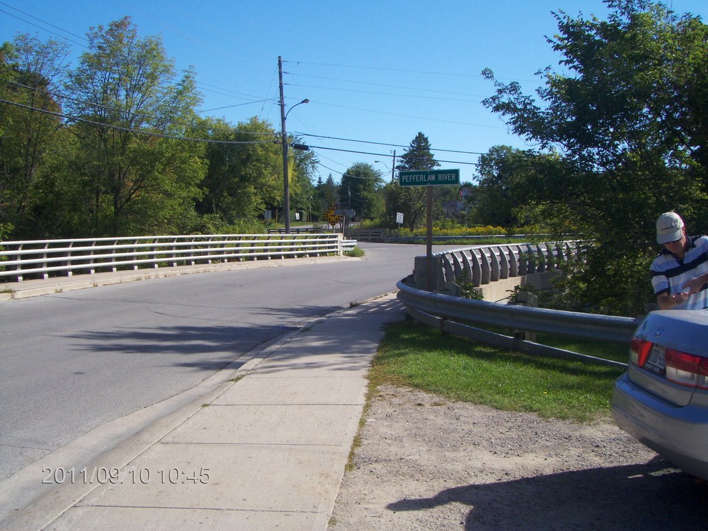
Here is the intersection of Pefferlaw Road and Main Street.
And here is the view upstream towards the weir, from the intersection of Pefferlaw Road and Main Street
A close-up shot.
The car is parked; the canoe is carried; we are ready to go.
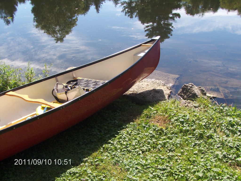
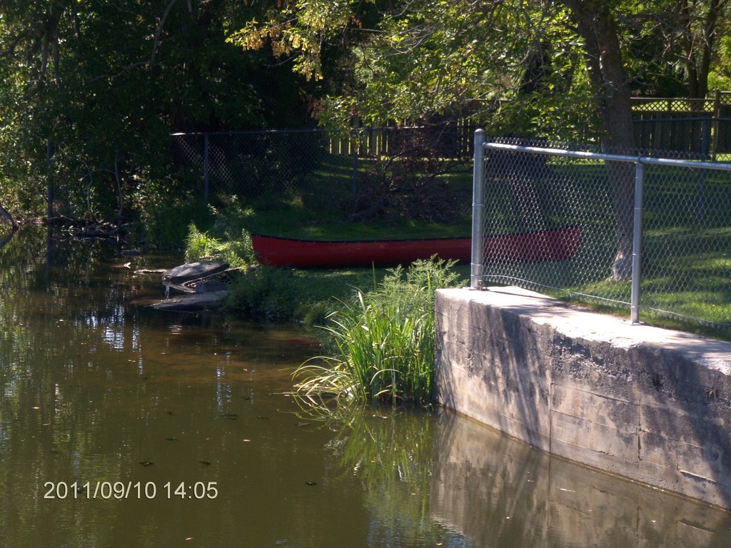
The launch spot is a neat slab of concrete, just the right size for us!
I was so impressed I took a second shot; couldnít believe my eyes.
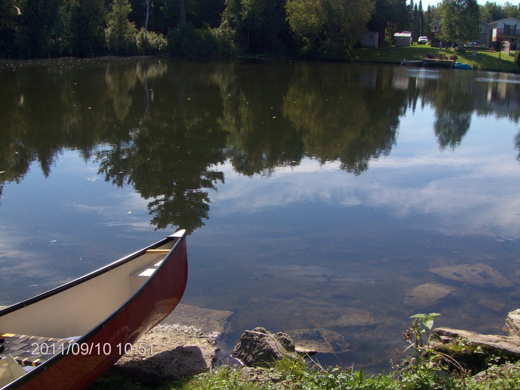
And just before eleven we slipped into the water and headed upstream from the weir.
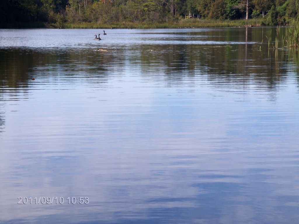
Traditionally, Canada Geese escort us everywhere, drowning out our conversation.
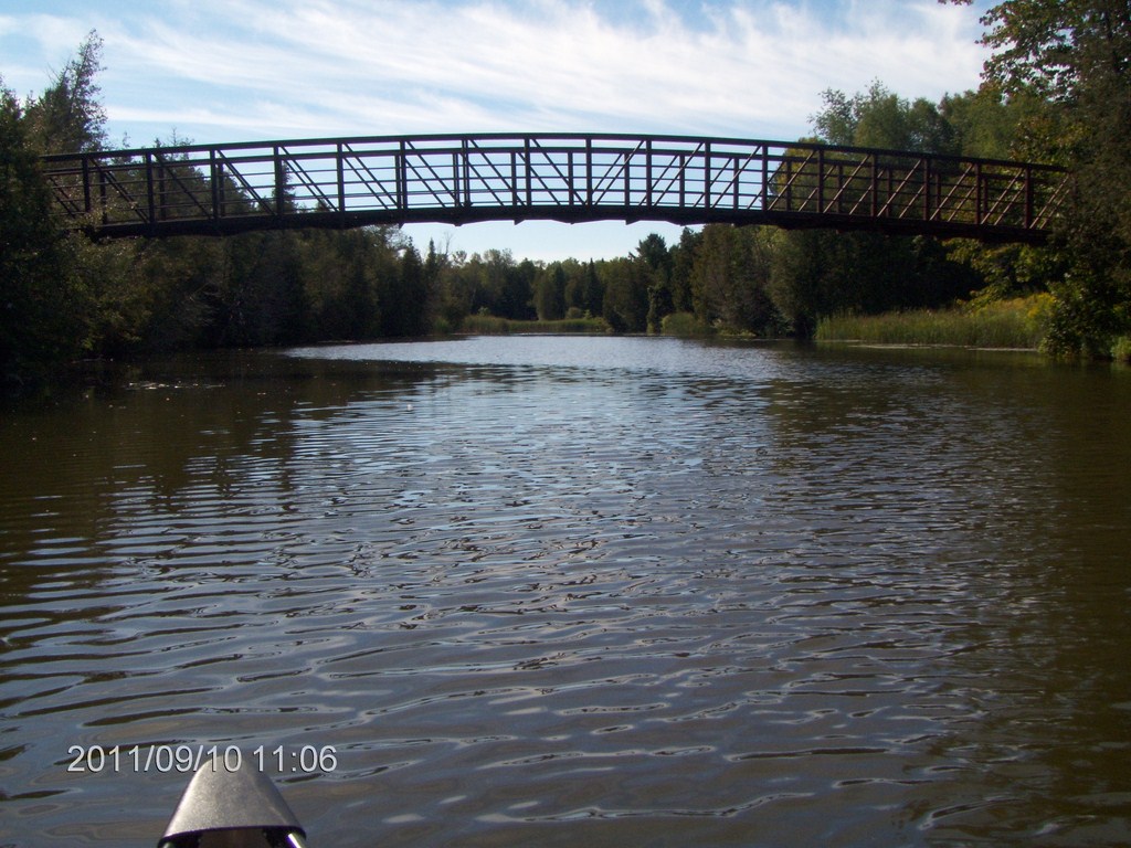
We approach and glide under a pedestrian bridge at Old Homestead Road and Peters Lane.
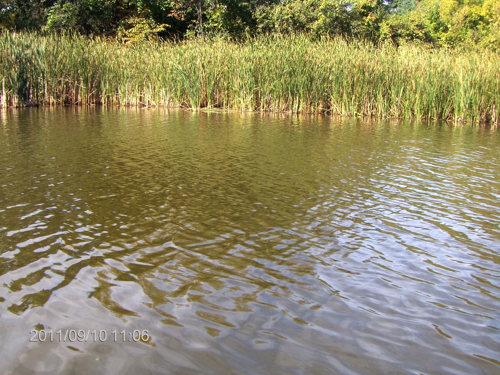
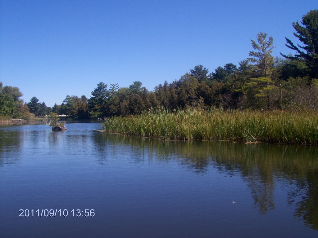
Reed beds line the western shore.
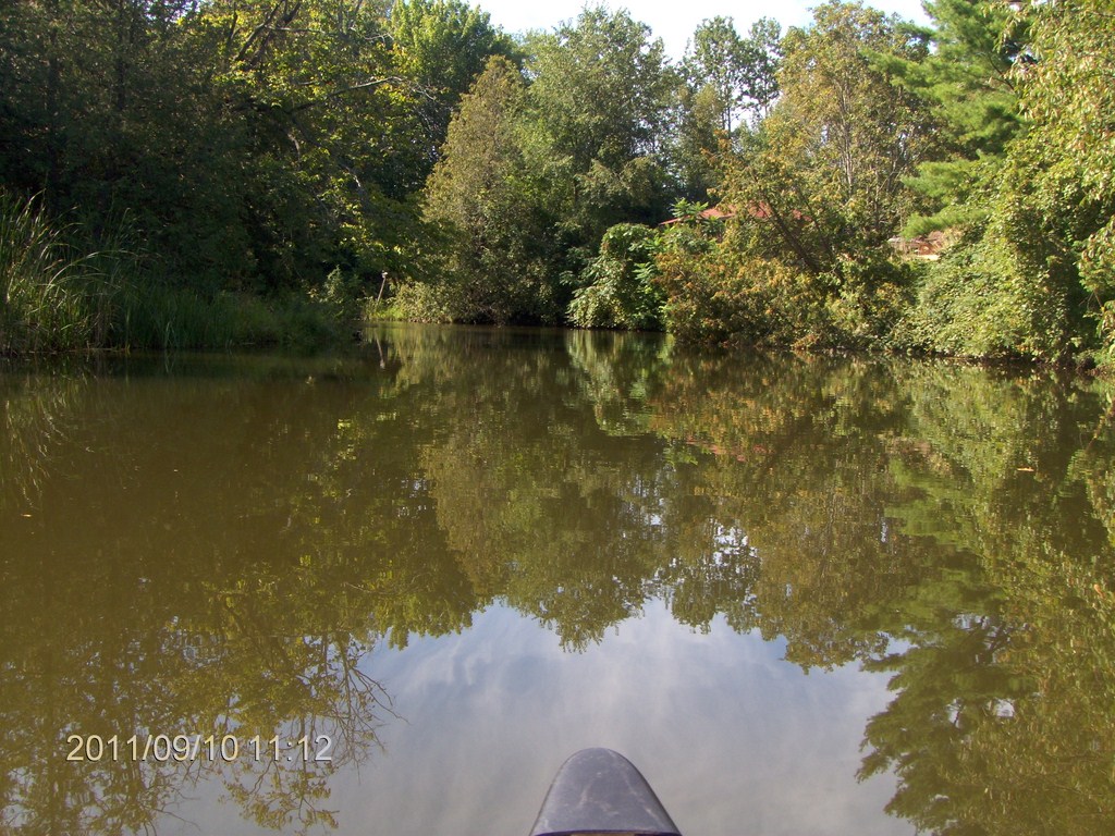
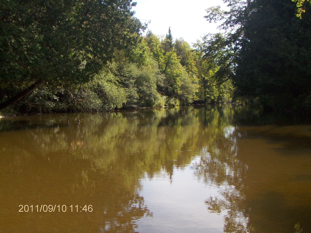
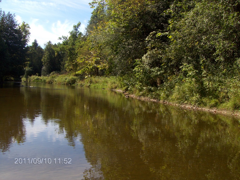
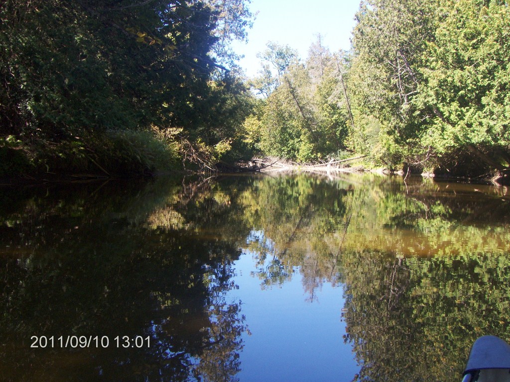
The water is glassy in this section.
We are travelling past the new housing estate at Brock Crescent and Pinecrest Road.
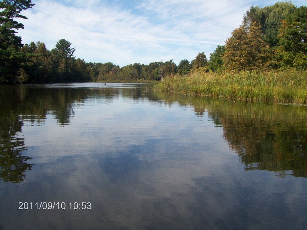
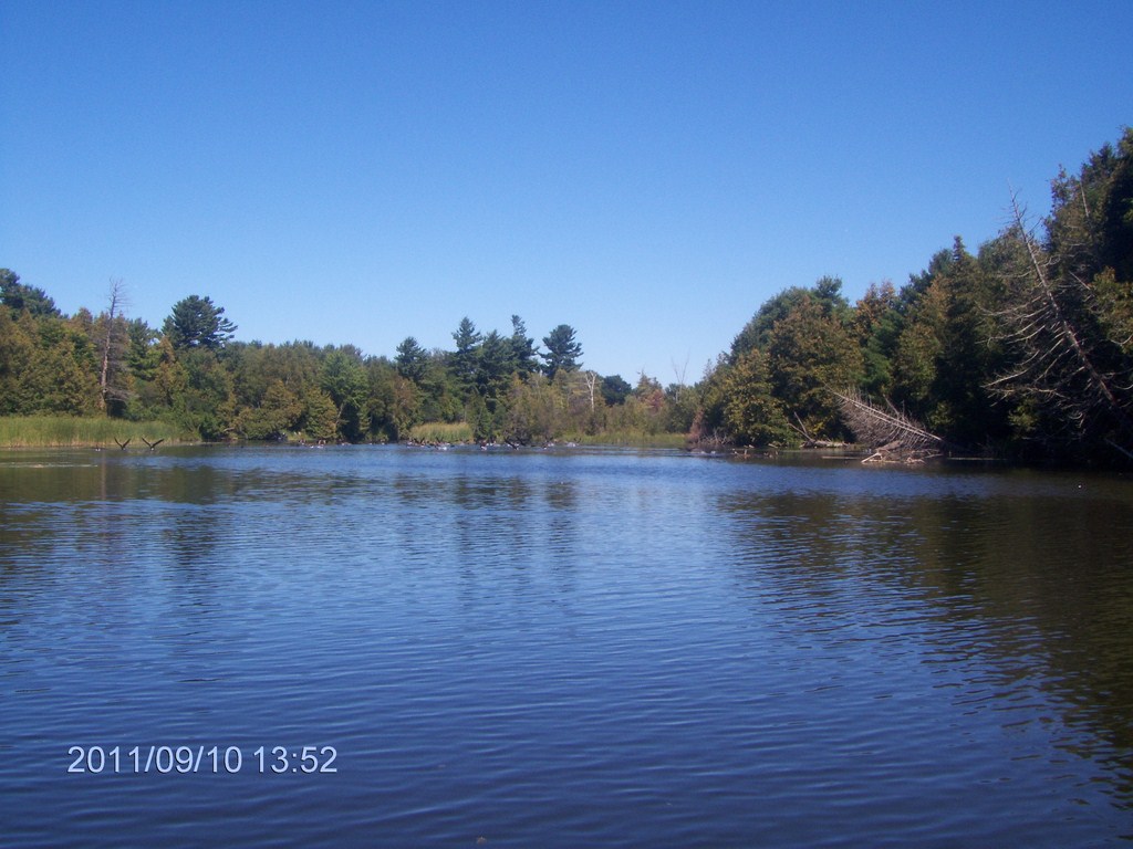
What a beautiful day.
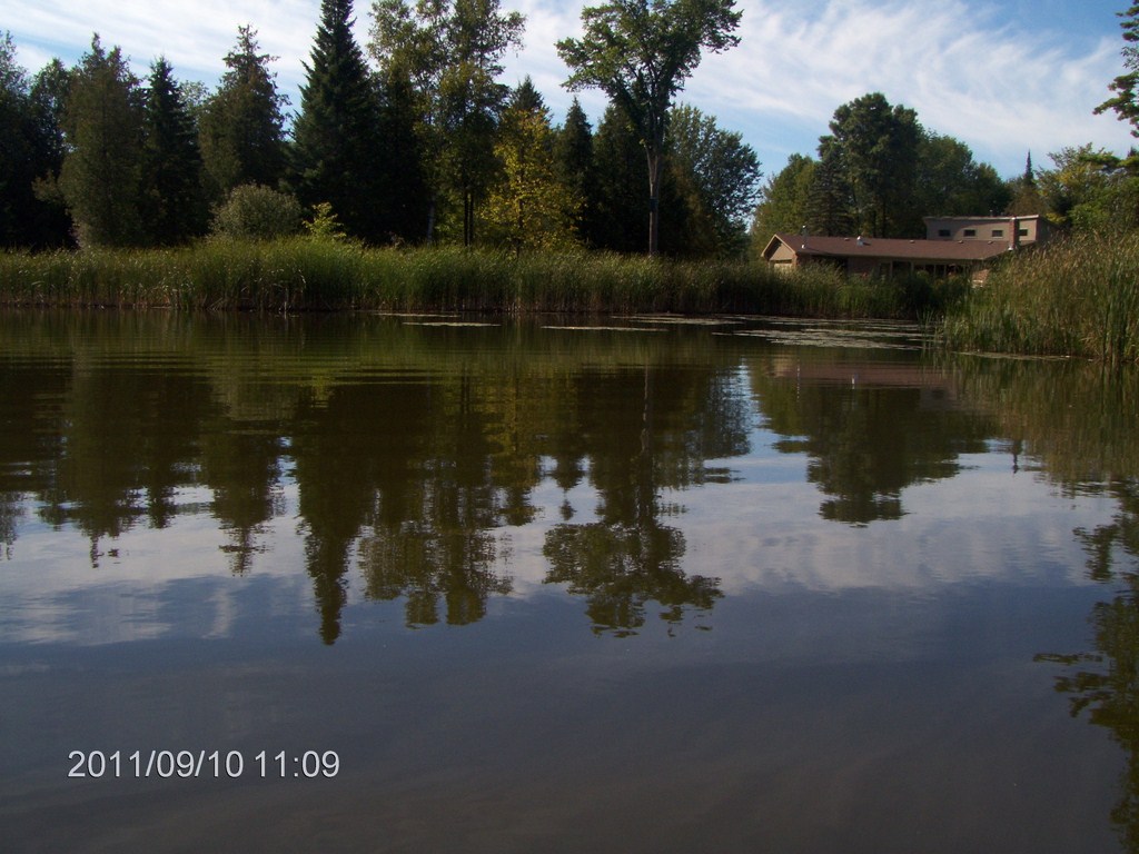
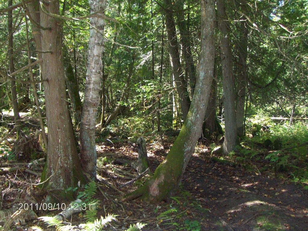
Before too long we are into tree-lined banks, but still the odd habitation peeks out at us.
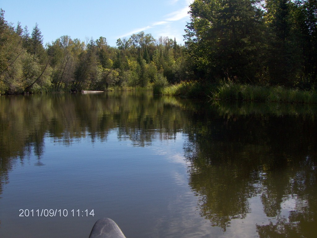
We begin to think that this is a better paddle than Black River at West Sutton !
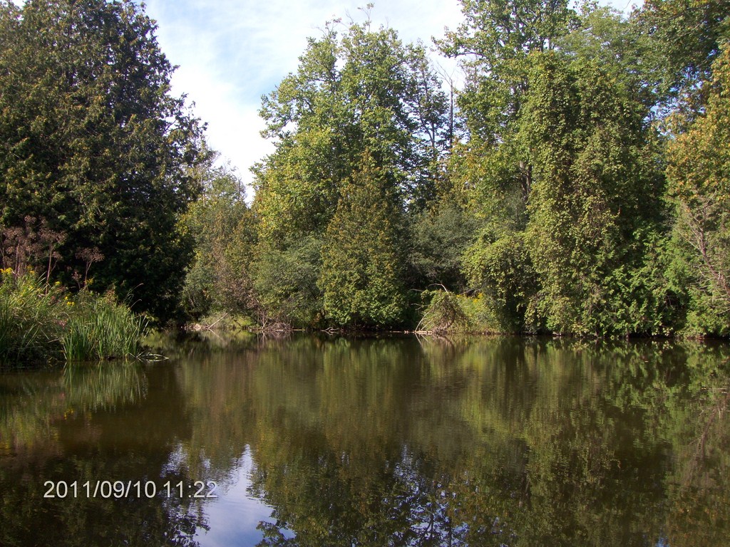
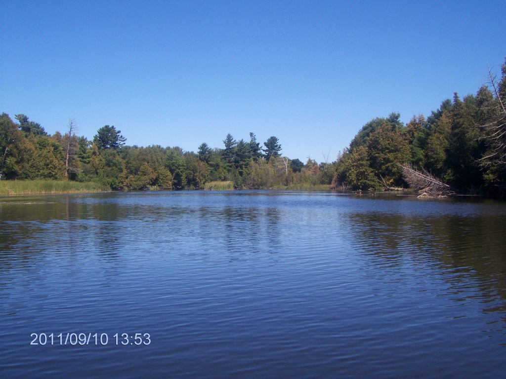
Classic Lake Simcoe periphery.
Sometimes we are reminded of Minesing Swamp .
This house has a well-placed wall of granite blocks lining its shore.
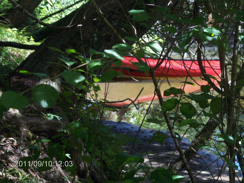
I took a shot of this jetty on the way back, too. You canít get a cabin-cruiser in here, and itís a long way down to the canoe!
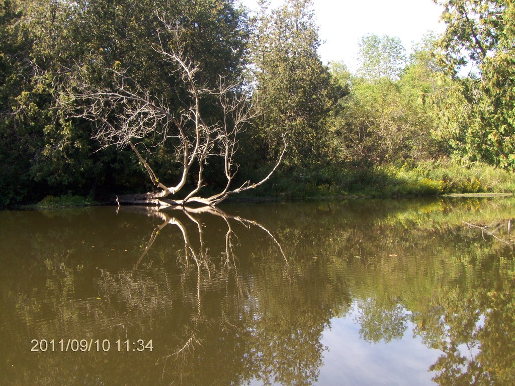
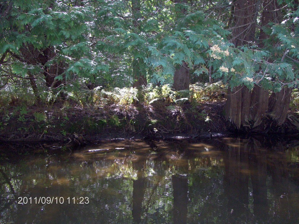
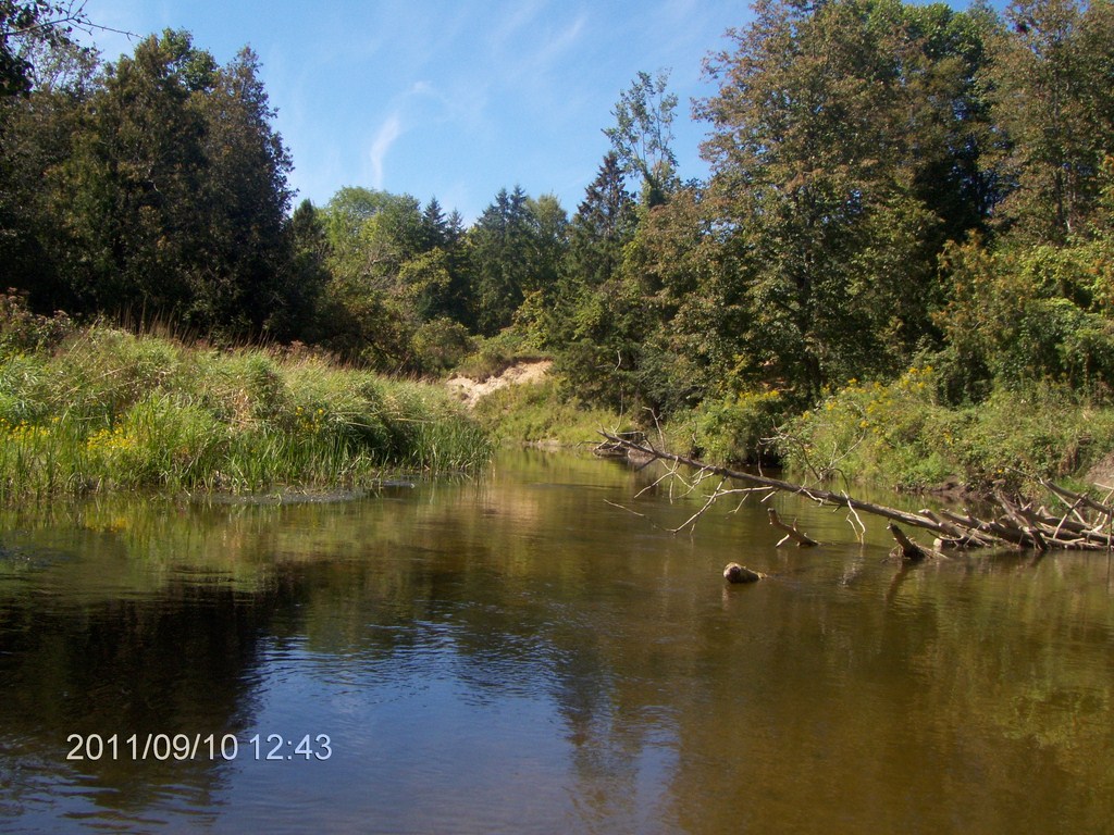
Toppled trees teeter on the bank.
This looked better in real life; we rounded a bend and were met by a mini-kaleidoscope of colour.
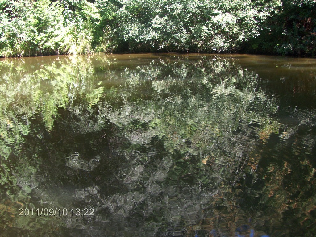
The water was at times shallow but clear. A sandy silt lines the bed, and we say small oval depressions that might be clam-holes.
Ahhhh!
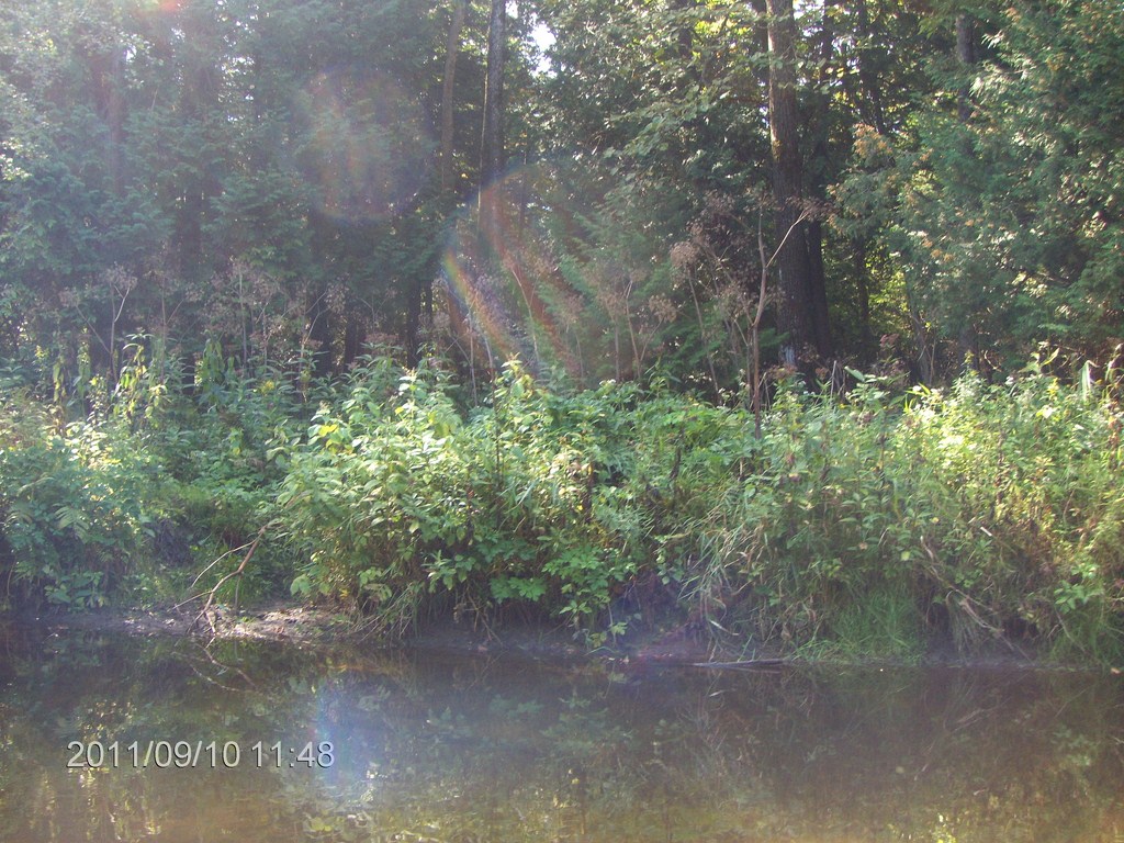
Another scene reminiscent of Minesing Swamp.
What can I say?
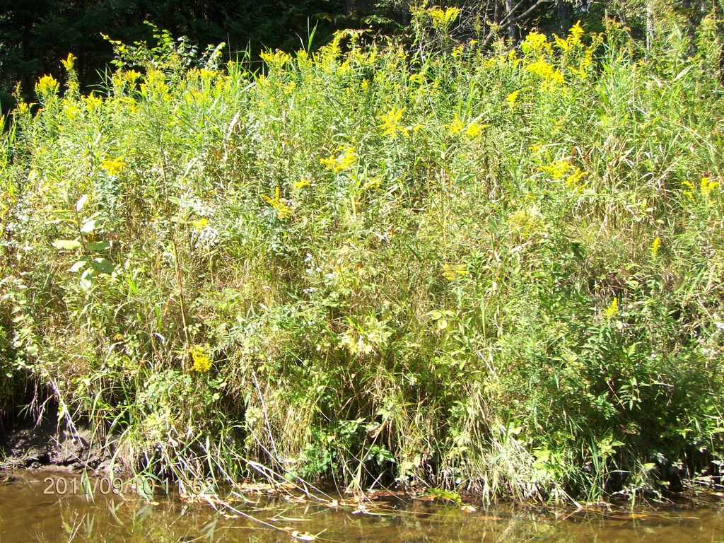
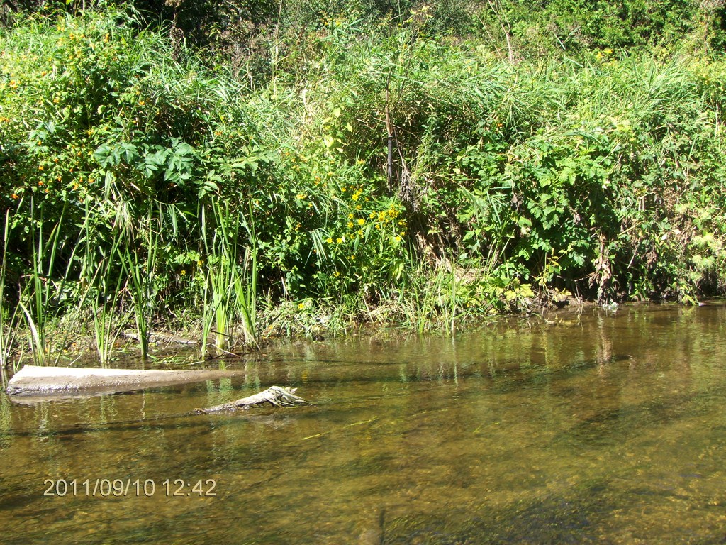
Wildflowers greet us along the banks.
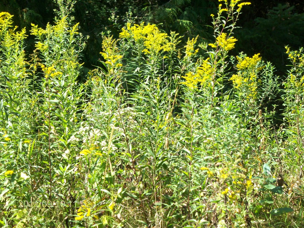
No matter how weedy they are, the colours are pretty, and they harbour wildlife.
By now, of course, we are focused on searching for a lunch spot.
We find one, pull up the canoe, and sit down to compare sandwiches like two little school boys.
We are sitting on the bank about four feet above the water.
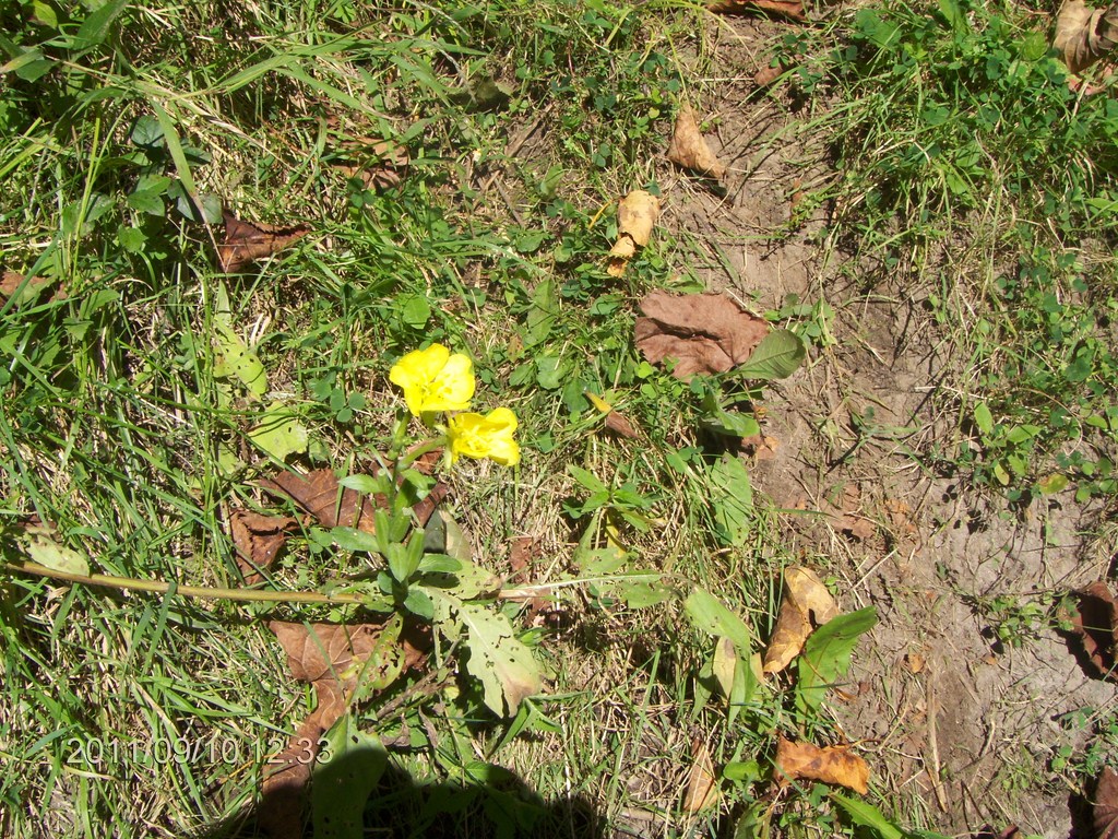
Here is a close-up of a couple of yellow blossoms at our lunch-spot.
Lunch taken care of, we continued upstream.
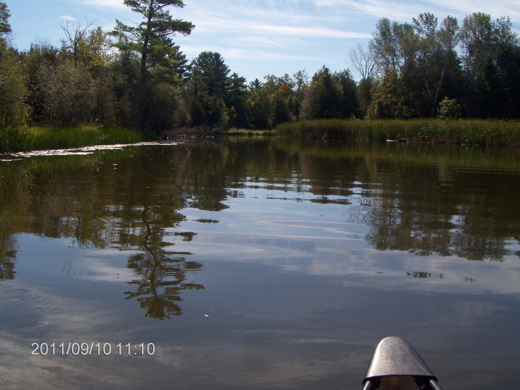
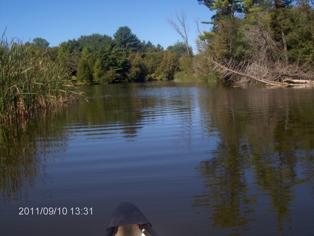
By now of course we have a current; we are out of the lake and into the river proper.
We were hoping to locate a road bridge as a turn-around point and a possible launch spot for our next leg up stream.
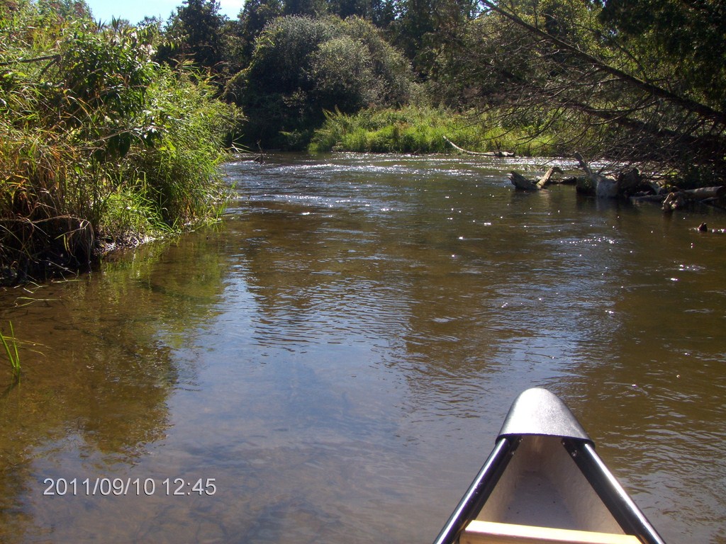
We decide to see ìwhatís around the next bendî, a fatal time-consuming game for us.
This spot looked like a fork in the river, but I think the far water was just rushing under a log jam.
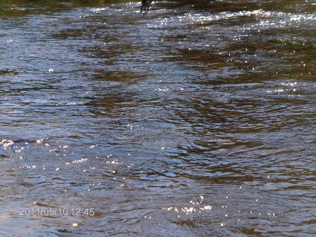
Turbulent it was.
So, (sigh!) we turn around and begin a swift descent with the current.
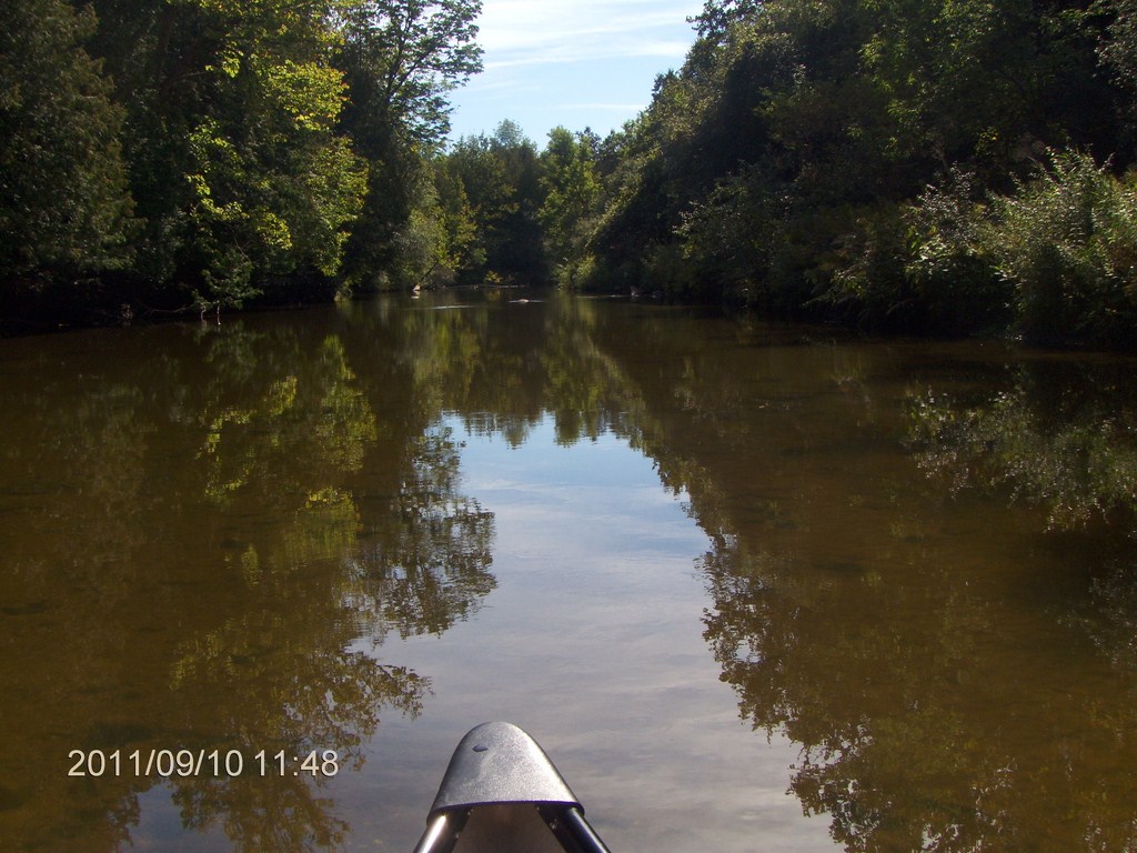
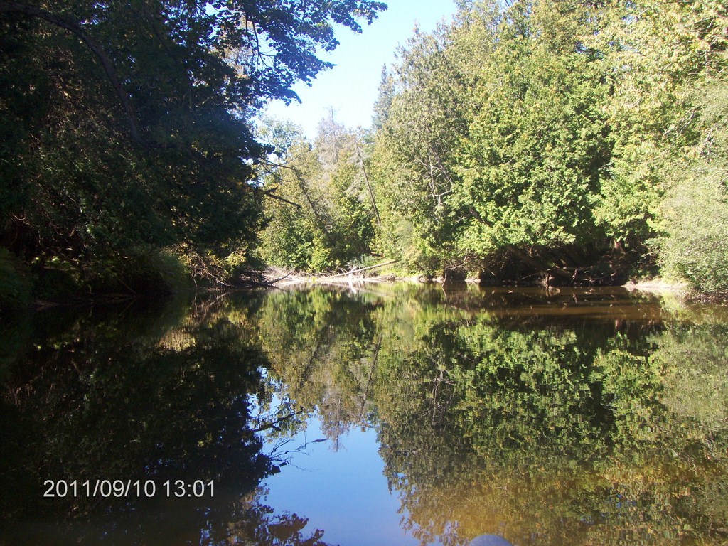
The river is as beautiful on the way down as it was on the way up.
Another view of ìthat jettyî!
The reflections are superb.
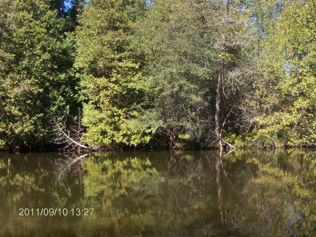
And the trees are mesmerizing.
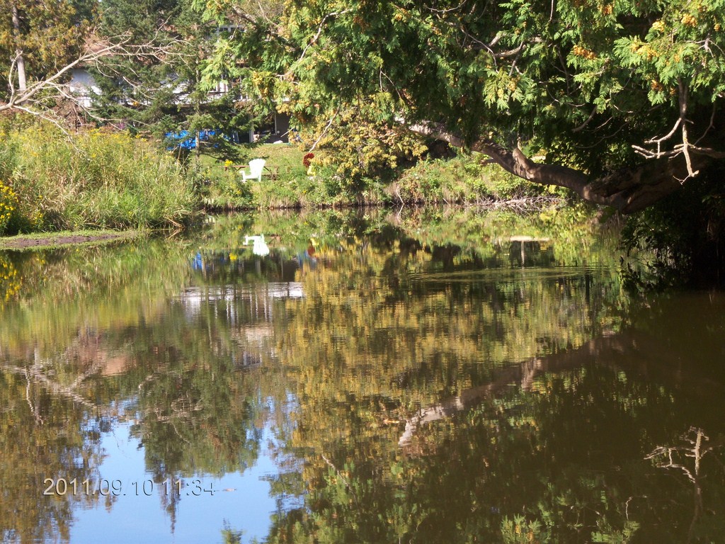
We are almost back to civilization.
Same old deal - we didnít spot another canoeist all day.

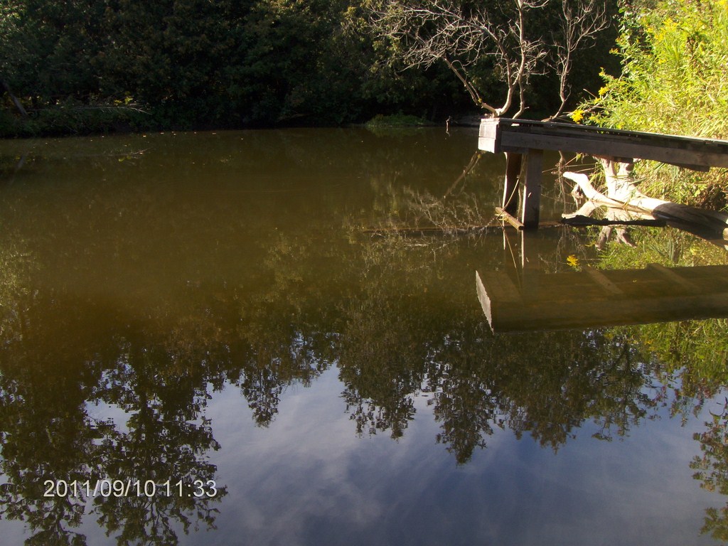
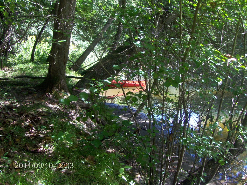
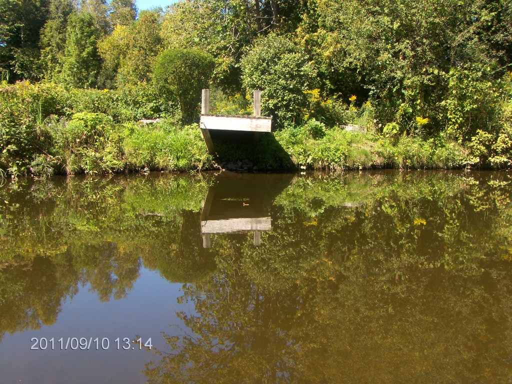
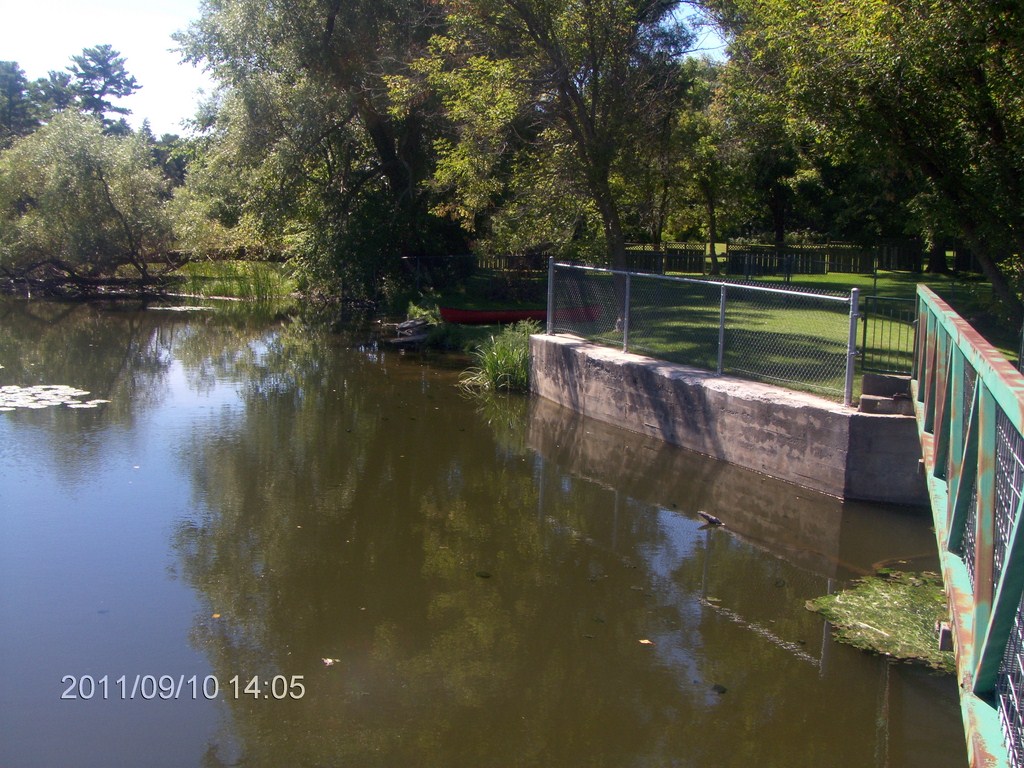
We pulled in to a launch spot at the western end of the footbridge at Old Homestead Road and Peters Lane.
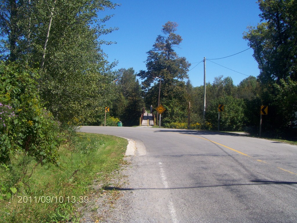
Here is a view of the footbridge from Old Homestead Road. The canoe is pulled up out of sight to the left of the bridge.
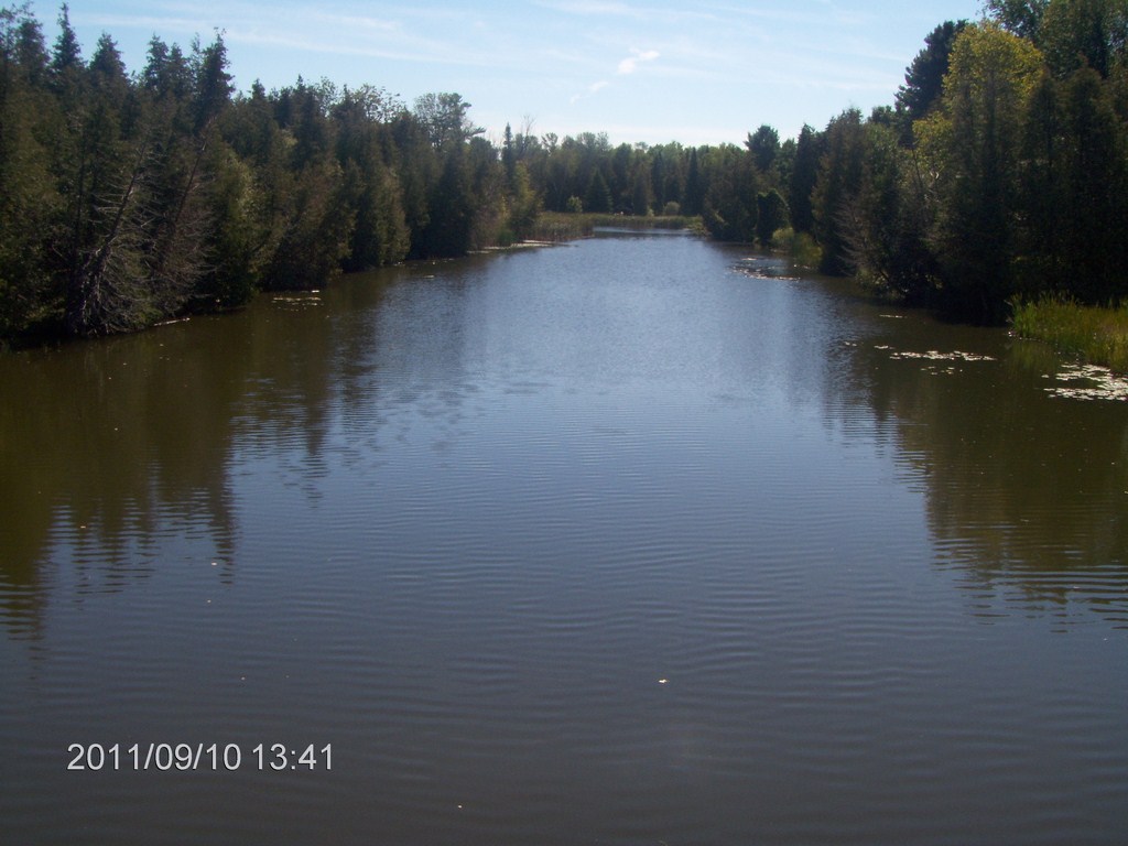
The view upstream from the footbridge.
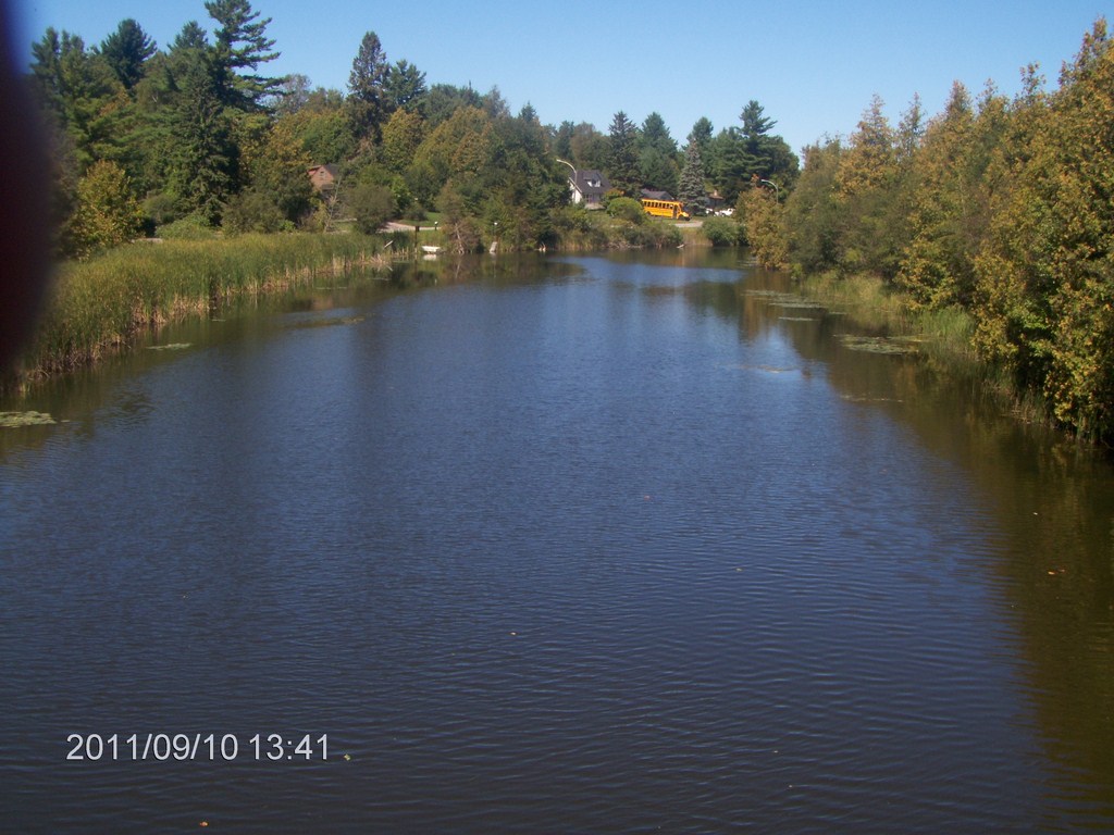
The view downstream from the footbridge.
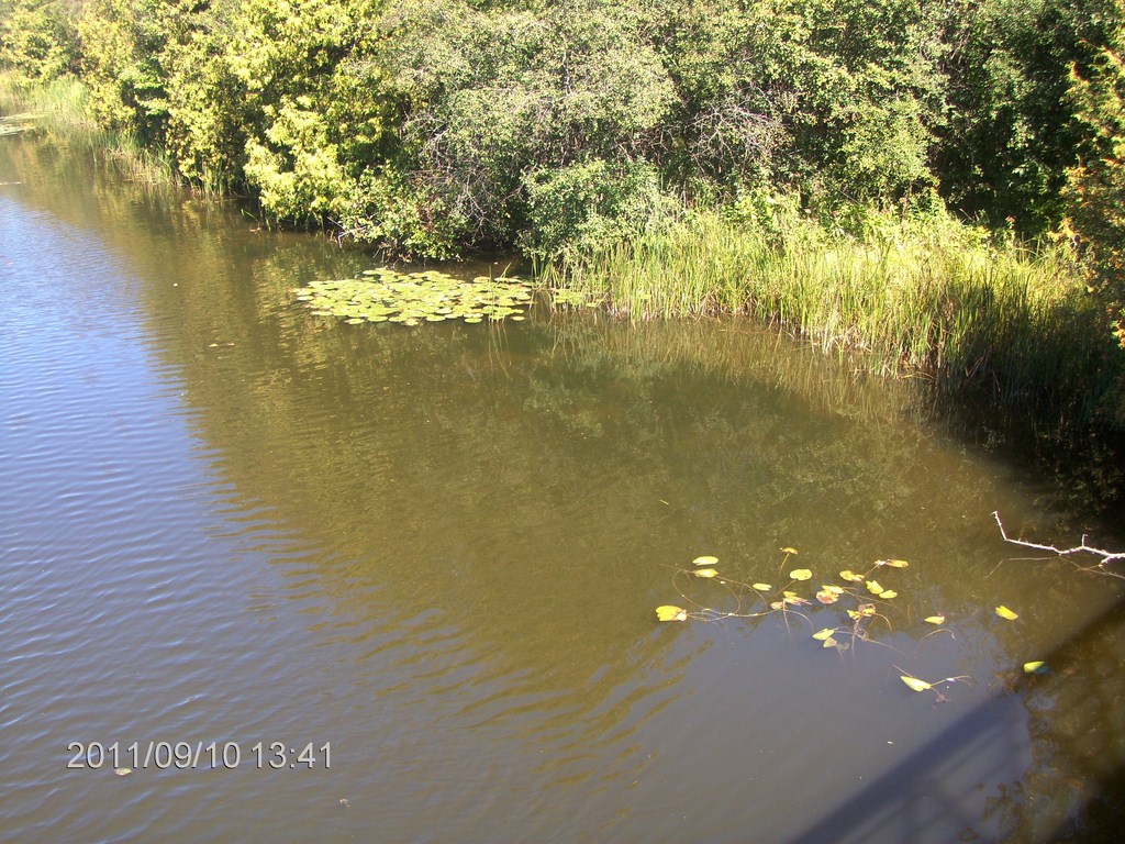
The lily-pads, says Fred, are huge!
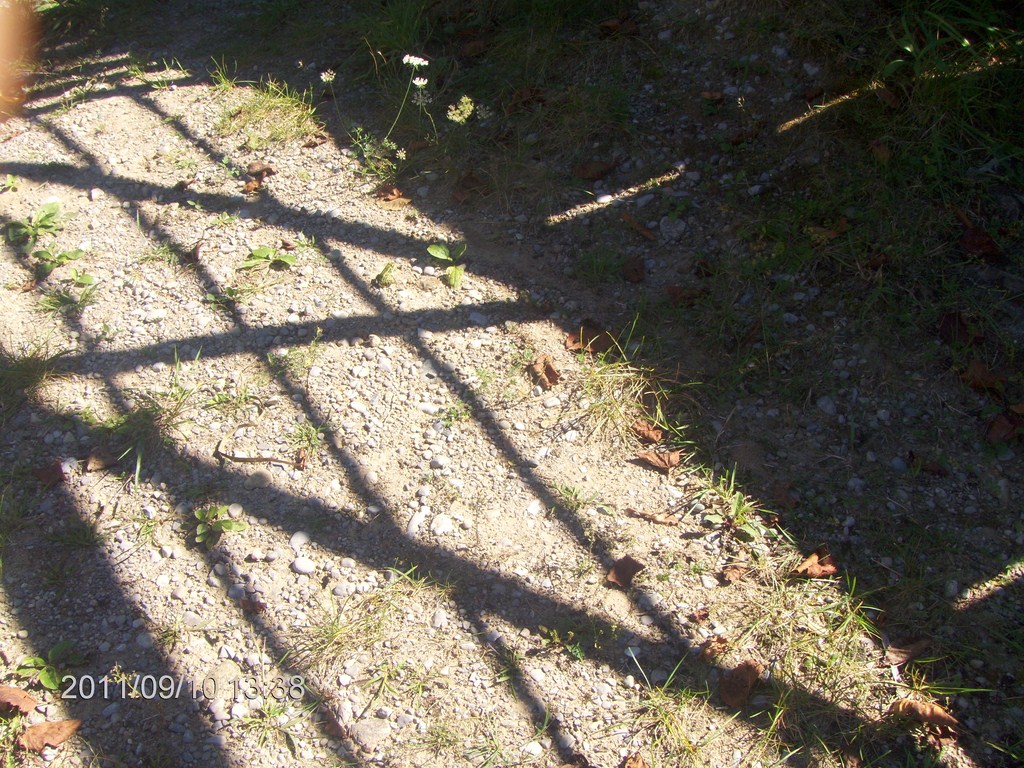
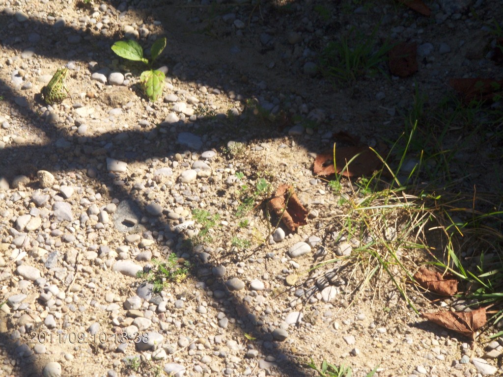
Fred, bless him, spots some frogs.
Here is a photo of a green frog.
Can you spot it?
Perhaps this will help!
We set off again and are greeted by the flock of about 200 Canada Geese who take off in alarm as we approach.
Perfect weather.
A Blue Heron was waiting for us. Will I open up the camera in time?
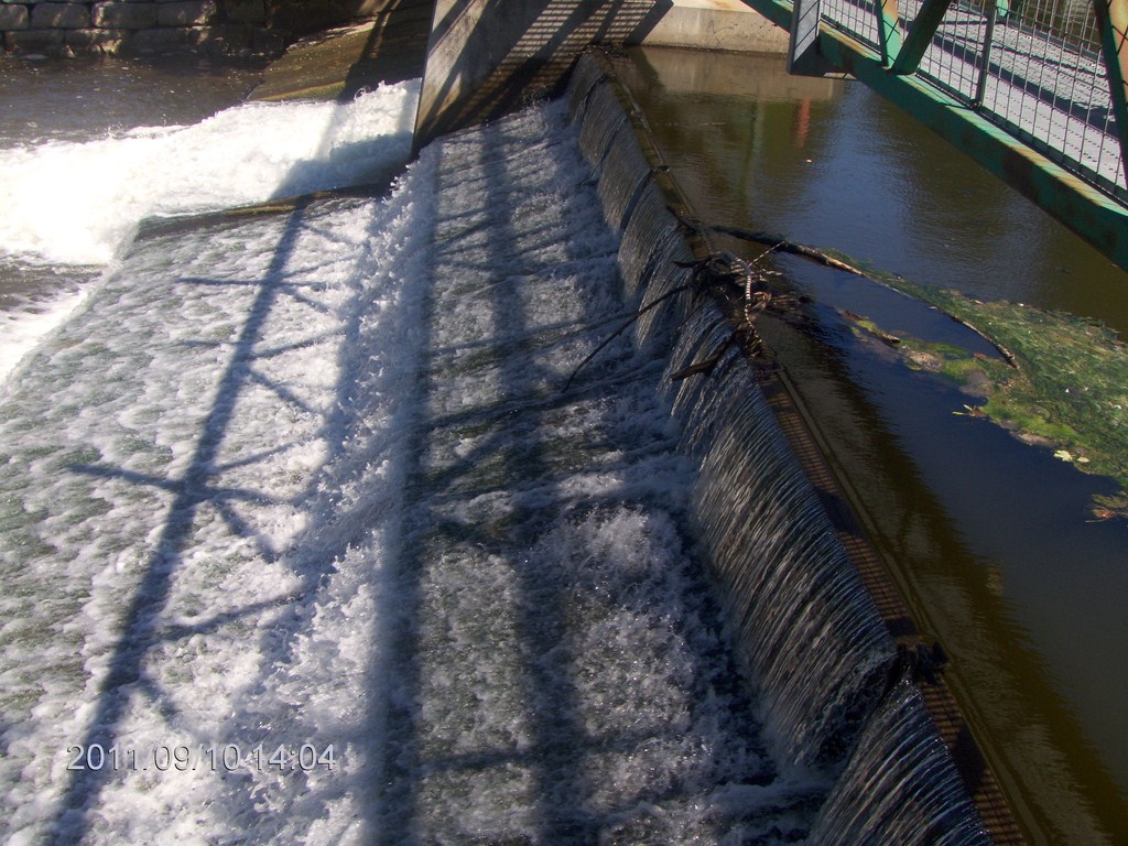
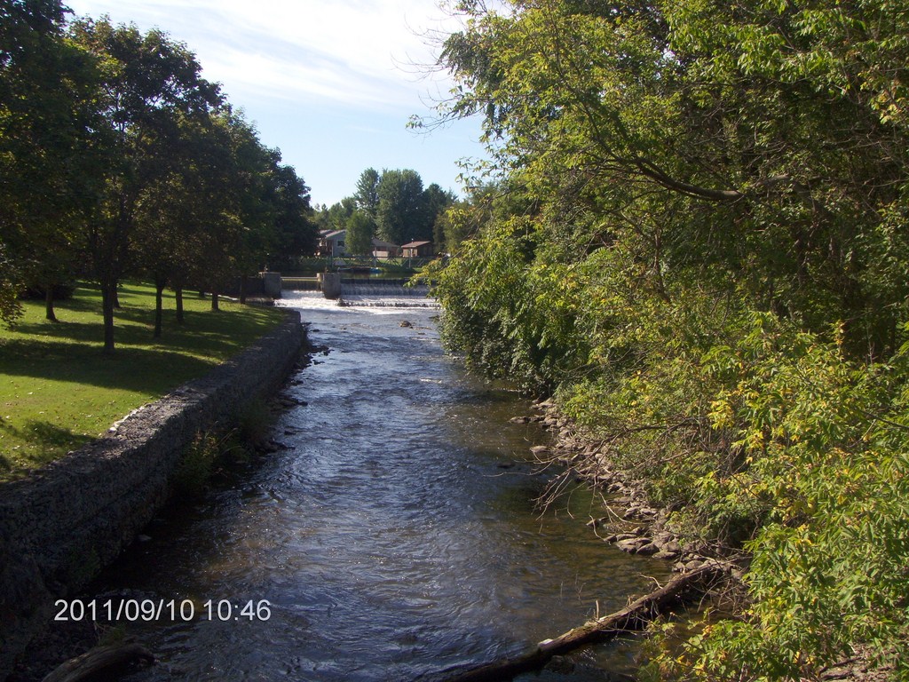
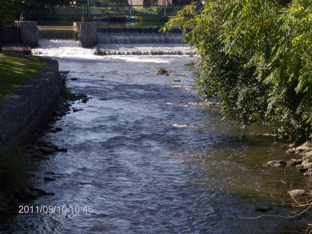
Hereís a photo of the water cascading over the weir, the source of the foam-flecked current we met during our Pefferlaw Brook ñ Port Bolster trip.
Thereís the canoe, pulled up on the mini-slipway.
Do you see it now?
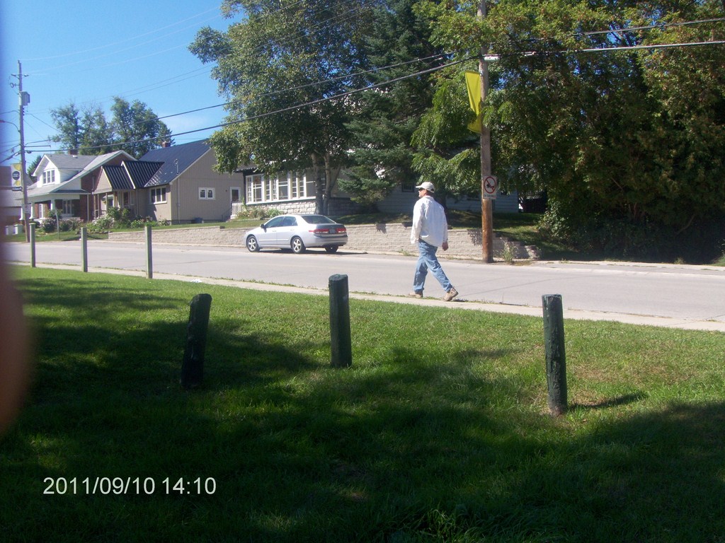
Then itís time to fetch the car and load up, so I send off my driver ...
709 218 7927 CPRGreaves@gmail.com Bonavista, Friday, December 04, 2020 6:24 PM Copyright © 1996-2020 Chris Greaves. All Rights Reserved. |
|---|